
THE WATERFALLS TRAIL
A pleasant walk along ancient paths and cart tracks up to the valley of the Presà stream.
Park the car near Park Arcobaleno and head to the centre of Gardola, along via Panoramica and via Badiale. Then take via Roma, the main street. After a few meters take via Chiesa, marked with signpost 266. Go downhill and you will reach the hamlet of Oldesio. A few dozen meters past the church is a spot where once stood some fountains. To the right, you will see the signpost to Aer. After less than a kilometre, the trail will lead you to signpost 265.
Once you've reached Aer, walk uphill towards the church of St. Bernard and St. Valentine. A few metres further on, on the left-hand side, take path 265 (via Marsala). At the end of the path, walk under the arch. At this point, the trail joins a dirt road: enter the small valleys and admire their spectacular waterfalls. Then follow the signs for trail 251 Vione. After climbing a steep flight of steps, you will reach Vione and you will then turn right, towards Aer. After about one and a half kilometres, you will cross via Panoramica: take it to get back to Gardola.
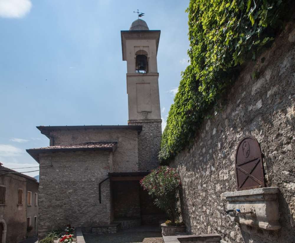
1-THE CHURCH OF ST. ROCCO AND THE FOUNTAINS
In Oldesio, near the Church of St. Rocco, there are a small fountain and spot to stop and rest. In that very spot used to be old fountains. In every hamlet and village of the area, they represented one of the centres of social life.
2-THE BVG TRAIL
The stretch of path from Aer to the little valley of Vione is part of the Bassa Via del Garda. Although it is partially equipped, the path also includes some passages which can be quite difficult. The most demanding ones are equipped with safety guards and steel ropes to hold on to. In the last part, a staircase has been built into a steep wall. We recommend that dogs be kept on a leash.
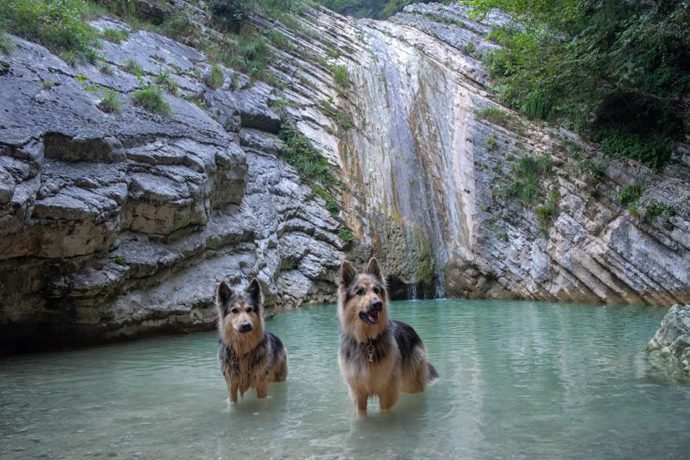
Entering the magical area of the waterfalls will nourish your spirit. Enjoy the silence of nature and listen to the sound of water, which has been flowing relentlessly for thousands of years. At the end of the path, before the valley floor, you can see terraces that have not been farmed for over a century. The dry stone walls you can see were built with considerable effort. Today, they regularly interrupt a lush holm oak grove. Further downstream, you can see how the ceaseless flow of the stream has gently shaped the rocks.
3-THE LIME PRODUCTION PROCESS
Till the second post-war period, lime production used to be widespread in the area. The families who owned rudimentary stone ovens (the so-called calchére) carried out this activity. These half-buried, barrel-shaped structures had an opening at the top and one at the side. The limestones were placed inside them in decreasing order of size. The calchéra was divided into two rooms by a stone arch. Right after the Presà bridge you can see a ruin. After the upper part of the kiln had been filled, the lid was sealed.
In the lower part, wood and coal were introduced through an opening and were then set on fire. After combustion, the limestones were transformed into quicklime and left to cool for a few days. The cellars of many houses were equipped with a special pit in which lime was stored. The lime used to be moistened with water and thus "slaked" into quicklime.
TECHNICAL DETAILS


Ufficio Unico del turismo di Tignale
Via Provinciale, 1- 25080 TIGNALE (Bs)
Tel. +39 0365 73354
Information on data processing
DOWNLOAD THE NEW APP "VISIT TIGNALE"